


GIS APPLICATIONS : CMAP, ESRI Navstreet and Luciad Light Speed
GIS (Geographic Information System) is an information system for capturing, recording, analyzing,
viewing and returning information derived from georeferenced geographic data.
A GIS combines software tools to acquire, store, extract, transform and display real-world spatial data,
supporting location-based decisions.




SOFTWARE
Experience. Navigation software.
Data-Ware has gained considerable experience in the cartography field by collaborating with major industrial and government companies in order
to manage large quantity of geographic data and presenting them in multiple contexts and scenarios.
Thus, we have created instruments for maritime navigation, land use, for the geolocation of moving objects
and their centralized management.
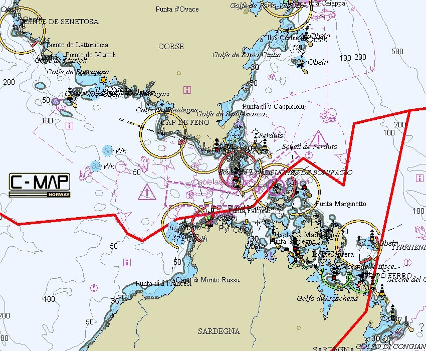
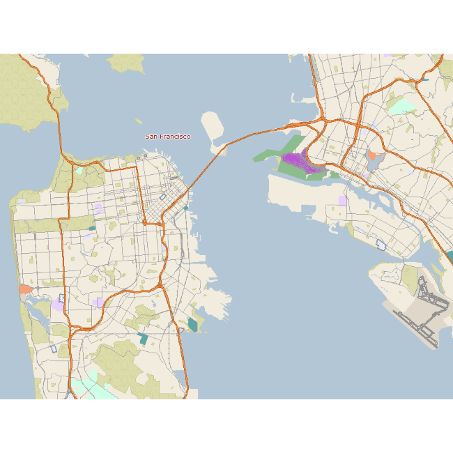
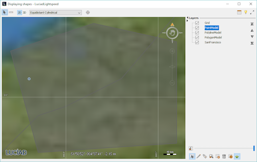
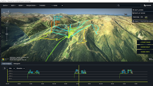
Luciad Light Speed Defense area.
Experience in creating GIS applications on the Luciad Light Speed ??platform: advanced desktop and integrated
geospatial analysis applications created in Java and made up of components and connectors to visualize and analyze geospatial data
in 2D and 3D.
Create and view data using military standards MIL-STD 2525 or APP-6.
For manufacturer information, please visit the site
hexagon.com
.